Transcript
4
(First entry, p. 55)
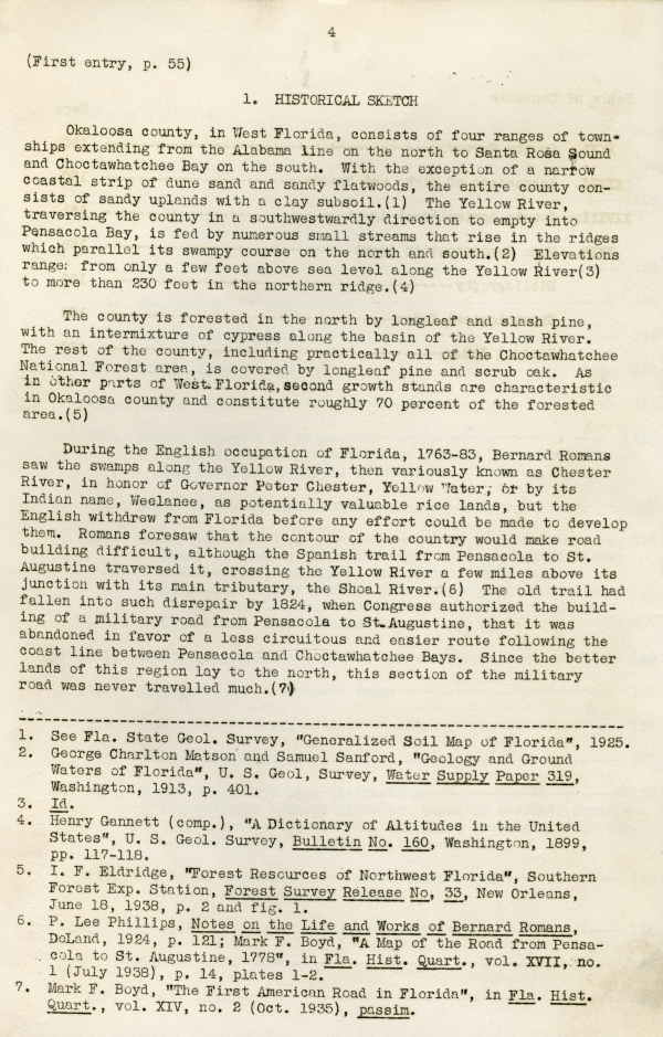
1. HISTORICAL SKETCH
Okaloosa county, in West Florida, consists of four ranges of townships extending from the Alabama line on the north to Santa Rosa Sound and Choctawhatchee Bay on the south. With the exception of a narrow coastal strip of dune sand and sandy flatwoods, the entire county consists of sandy uplands with a clay subsoil.(1) The Yellow River, traversing the county in a southwestwardly direction to empty into Pensacola Bay, is fed by numerous small streams that rise in the ridges which parallel its swampy course on the north and south.(2) Elevations range: from only a few feet above sea level along the Yellow River(3) to more than 230 feet in the northern ridge.(4)
The county is forested in the north by longleaf and slash pine, with an intermixture of cypress along the basin of the Yellow River. The rest of the county, including practically all of the Choctawhatchee National Forest area, is covered by longleaf pine and scrub oak. As in other parts of West Florica, second growth stands are characteristic in Okaloosa county and constitute roughly 70 percent of the forested area.(5)
During the English occupation of Florida, 1763-83, Bernard Romans saw the swamps along the Yellow River, then variously known as Chester River, in honor of Governor Peter Chester, Yellow Water, or by its Indian name, Weelanee, as potentially valuable rice lands, but the English withdrew from Florida before any effort could be made to develop them. Romans foresaw that the contour of the country would make road building difficult, although the Spanish trail from Pensacola to St. Augustine traversed it, crossing the Yellow River a few miles above its junction with its main tributary, the Shoal River.(6) The old trail had fallen into such disrepair by 1824, when Congress authorized the building of a military road from Pensacola to St. Augustine, that it was abandoned in favor of a less circuitous and easier route following the coast line between Pensacola and Choctawhatchee Bays. Since the better lands of this region lay to the north, this section of the military road was never travelled much.(7)
------------------------------------
1. See Fla. State Geol. Survey, "Generalized Soil Map of Florida", 1925.
2. George Charlton Matson and Samuel Sanford, "Geology and Ground Waters of Florida", U. S. Geol[.] Survey, Water Supply Paper 319, Washington, 1913, p. 401.
3. Id.
4. Henry Gannett (comp.), "A Dictionary of Altitudes in the United States", U. S. Geol. Survey, Bulletin No. 160, Washington, 1899, pp. 117-118.
5. I. F. Eldridge, "Forest Resources of Northwest Florida", Southern Forest Exp. Station, Forest Survey Release No, 33, New Orleans, June 18, 1938, p. 2 and fig. 1.
6. P. Lee Phillips, Notes on the Life and Works of Bernard Romans, DeLand, 1924, p. 121; Mark F. Boyd, "A Map of Road from Pensacola to St. Augustine, 1778", in Fla. Hist. Quart., vol. XVII, no. 1 (July 1938), p. 14, plates 1-2.
7. Mark F. Boyd, "The First American Road in Florida", in Fla. Hist. Quart., vol. XIV, no. 2 (Oct. 1935), passim.
Historical Sketch
(First Entry, p. 55)
More important to the development of the area than the building of the military road was the government survey of lands now in Okaloosa county which was made between 1825 and 1829 by Benjamin and Hosea B. Clements, J. W. Exum, and J. P. Love.(8) There was a Scotch settlement on the Yellow River as early as 1824,(9) and by 1828 there were post offices at Almirante and Yellow Water which reported an annual business of $5.95 and $3.74, respectively.(10) Clearance of the Yellow River of the log rafts that obstructed it gave the settlement water communication with Pensacola. By 1837 a flourishing agricultural community, which milled its own corn and sold its cotton and surplus food stuffs, mainly corn, potatoes, rice and peas, in Pensacola, existed on both sides of the river.(11)
Upon the organization of the Florida territorial government in 1822, the territory now in Okaloosa county had been made a part of Escambia county.(12) Two years later the eastern half of the present Okaloosa county had become a part of the new county of Walton, (13) and in 1842 the western half was included in Santa Rosa county, created in that year.(14) Until the beginning of the logging railroad period in the 1880's, which made possible the location of sawmills without regard for water transportation,(15) the Okaloosa territory was an isolated back country of Pensacola and of the Scotch Euchee Valley settlements in Walton county, dependent entirely upon water and stage coach for transportation.(16) Its population was centered in Walton county in what is now the northwest part of Okaloosa county, where the best farming lands are located. Villages settled before the railroad period included Almirante, Otahite, Bethel, Oak Grove, and Yellow River.
Between 1881 and 1883 the Pensacola and Atlantic Railroad, now a part of the Louisville and Nashville system, was built from Chattahoochee to Pensacola.(17) Among the small stations that sprang up on its route were Holt and Crestview.(18) From Crestview the Yellow River Railroad
---------------------------------
8. "Santa Rosa Co. Florida", ms. plat book, pp. 4-15, 49-52; "Walton County, Fla.," ms. plat book, pp. 32-42, 50-52.
9. Mark F. Boyd, "The First American Road in Florida", in loc. cit., p. 84.
10. American State Papers, "Post Office Department", Washington, 1834, p. 210.
11. John Lee Williams, The Territory of Florida, New York, 1839, p. 127.
12. Terr. Acts, 1822, p. 3.
13. Terr. Acts, 1824-5, p. 260.
14. Terr. Acts, 1842, O. 3.
15. P. K. Yonge, "The Lumber Industry of West Florida" in Makers of America (Fla. ed.), Atlanta, 1909, vol. I, p. 74.
16. George M. Barbour, Florida for Tourists, Invalids, and Settlers, New York, 1883, p. 310.
17. Rowland H. Rerick, Memoirs of Florida, Atlanta, 1902, vol. II, p. 192.
18. Wanton S. Webb, Historical, Industrial and Biographical Florida, New York, 1885, pp. 100, 113.
6
(First entry, p. 55)
Historical Sketch
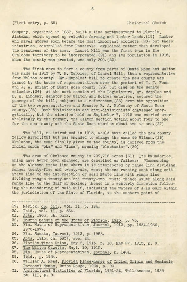
Company, organized in 1887, built a line northwestward to Florala, Alabama, which opened up valuable farming and lumber lands.(19) Lumber and naval stores soon became the most important products,(20) but these industries, controlled from Pensacola, exploited rather than developed the resources of the area. Laurel Hill was the first town in the Okaloosa territory to be incorporated,(21) and its population in 1915, when the county was created, was only 300.(22)
The first move to form a county from parts of Santa Rosa and Walton was made in 1913 by W. H. Mapoles, of Laurel Hill, then a representative from Walton county. Mr. Mapoles' bill to create the new county was passed by the house of representatives over the protest of T. J. Fen and J. A. Bryant of Santa Rosa county,(23) but died on the senate calendar.(24) At the next session of the Legislature, Mr. Mapoles and B. H. Lindsay, senator for Walton and Holmes counties, secured the passage of the bill, subject to a referendum,(25) over the opposition of the two representatives and Senator R. A. McGeachy of Santa Rosa county.(26) Both divisionists and anti-divisionists [canvassed] energetically, but the election held on September 7, 1915 was carried overwhelmingly by the former, the Walton section voting about four to one for the new county and the Santa Rosa section about two to one.(27)
The bill, as introduced in 1913, would have called the new county Yellow River,(28) but was amended to change the name to Wilson.(29) Okaloosa, the name finally given to the county, is derived from the Indian words "oka" and "lusa", meaning "blackwater".(30)
The area of Okaloosa county is 709,716 acres.(31) Its boundaries, which have never been changed, are described as follows: "Commencing on the Alabama State line where it is intersected by range line dividing ranges twenty-five and twenty-six, west; thence running east along said State line to the intersection of said State line with range line dividing ranges twenty-one and twenty-two, west; thence south along said range line to the Gulf of Mexico; thence in a westerly direction following the meandering of said Gulf, including the waters of said Gulf within the jurisdiction of the State of Florida, to the eastern point of
-----------------------------------
19. Rerick, op. cit., vol. II, p. 194.
20. Ibid., vol. II, p. 364.
21. Acts, 1905, ch. 5512.
22. Fourth Census of the State of Florida, 1915, p. 73.
23. Fla. House of Representatives, Journal, 1913, pp. 1934-1936, 1976-1977.
24. Fla. Senate, Journal, 1913, p. 1853.
25. Acts, 1915, ch. 6937, sec. 24.
26. Florida Times Union, May 8, 1915, p. 10, May 27, 1915, p. 9.
27. The Milton Gazette, Sept. 10, 1915.
28. Fla. House of Representatives, Journal, p. 1481.
29. Ibid., p. 1934.
30. William A. Read, Florida Place-names of Indian Origin and Seminole Personal Names, Baton Rouge, 1934, p. 23.
31. Agricultural Statistics of Florida, 1931-32, Tallahassee, 1933 pt. III, p. 8.
7
Historical Sketch
(First entry, p. 55)
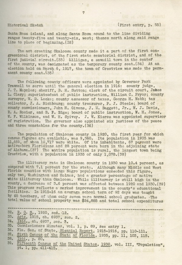
Santa Rosa island, and along Santa Rosa sound to the line dividing ranges twenty-five and twenty-six, west; thence north along said range line to place of beginning.(32)
The act creating Okaloosa county made it a part of the first congressional district, of the first state senatorial district, and of the first judicial circuit.(33) Milligan, a sawmill town in the center of the county, was designated as the temporary county seat.(34) At an election held on March 6, 1917, the town of Crestview was made the permanent county seat.(35)
The following county officers were appointed by Governor Park Trammell to serve until the general election in 1916: county judge, J. T. Mapoles; sheriff, B. H. Sutton; clerk of the circuit court, James L. Clary; superintendent of public instruction, William C. Pryor; county surveyor, W. D. Locke; county assessor of taxes, George H. Webb; tax collector, J. A. Richbourg; county treasurer, P. J. Steele; board of county commissioners, John H. Givens, J. W. Baggett, Jr., W. J. Davis, R. A. Rosier, and B. P. Edge; board of public instruction, W. H. Jones, W. F. Wilkinson, and W. H. Spivey. J. W. Kierce was appointed supervisor of registration. The governor also appointed six justices of the peace and three constables for the county.(36)
The population of Okaloosa county in 1920, the first year for which census figures are available, was 9,360. Its population in 1935 was 11,669, of whom 10,717 were white. Of its inhabitants, 67 percent were native-born Floridians and 28 percent were born in the adjoining state of Alabama.(37) The entire population is rural, the largest town being Crestview, with a population in 1935 of only 1,078.(38)
The illiteracy rate in Okaloosa county in 1930 was 10.4 percent, as compared with 7.1 percent for the state. Although many Middle and West Florida counties with large Negro populations exceeded this figure, only two, Washington and Holmes, had a greater percentage of native white illiteracy than Okaloosa. While illiteracy is still high in the county, a decrease of 3.6 percent was effected between 1920 and 1930.(39) This progress reflects a marked improvement in the county's educational facilities. In 1915-16 an average school term of 92 days was taught by 65 teachers, of whom only seven were normal school graduates. The total value of school property was $24,885 and total school expenditures
-------------------------------------
32. R. G. S., 1920, sec. 12.
33. Acts, 1915, ch. 6937, sec. 2.
34. Ibid., ch. 6937, sec. 3.
35. Commissioners Minutes, vol. 1, p. 89, see entry 1.
36. Fla. Sec. of State, Biennial Report, 1915-1916, pp. 110-111.
37. Sixth Census of the State of Florida, 1935, pp. 11, 103, 115.
38. Ibid., p. 80.
39. Fifteenth Census of the United States, 1930, vol. III, "Population", pt. 1, pp. 411-415.
8
(First entry, p. 55)
Historical Sketch
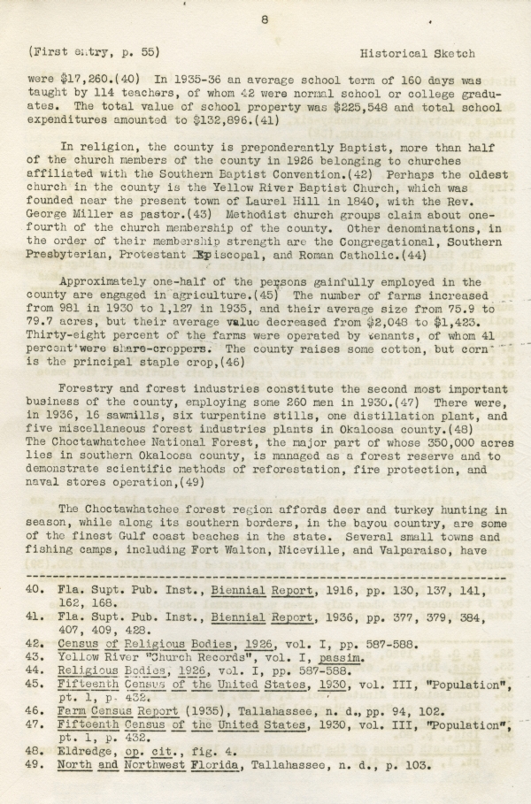
were $17,260.(40) In 1935-36 an average school term of 160 days was taught by 114 teachers, of whom 42 were normal school or college graduates. The total value of school property was $225,548 and total school expenditures amounted to $132,896.(41)
In religion, the county is preponderantly Baptist, more than half of the church members of the county in 1926 belonging to churches affiliated with the Southern Baptist Convention.(42) Perhaps the oldest church in the county is the Yellow River Baptist Church, which was founded near the present town of Laurel Hill in 1840, with the Rev. George Miller as pastor.(43) Methodist church groups claim about one-fourth of the church membership of the county. Other denominations, in the order of their membership strength are the Congregational, Southern Presbyterian, Protestant Episcopal, and Roman Catholic.(44)
Approximately one-half of the persons gainfully employed in the county are engaged in agriculture.(45) The number of farms increased from 981 in 1930 to 1,127 in 1935, and their average size from 75.9 to 79.7 acres, but their average value decreased from $2,048 to $1,423. Thirty-eight percent of the farms were operated by tenants, of whom 41 percent were share-croppers. The county raises some cotton, but corn is the principal staple crop,(46)
Forestry and forest industries constitute the second most important business of the county, employing some 260 men in 1930.(47) There were, in 1936, 16 sawmills, six turpentine stills, one distillation plant, and five miscellaneous forest industries plants in Okaloosa county.(48) The Choctawhatchee National Forest, the major part of whose 350,000 acres lies in southern Okaloosa county, is managed as a forest reserve and to demonstrate scientific methods of reforestation, fire protection, and naval stores operation,(49)
The Choctawhatchee forest region affords deer and turkey hunting in season, while along its southern borders, in the bayou country, are some of the finest Gulf coast beaches in the state. Several small towns and fishing camps, including Fort Walton, Niceville, and Valparaiso, have
--------------------------------
40. Fla. Supt. Pub. Inst., Biennial Report, 1916, pp. 130, 137, 141, 162, 168.
41. Fla. Supt. Pub. Inst., Biennial Report, 1936, pp. 377, 379, 384, 407, 409, 428.
42. Census of Religious Bodies, 1926, vol. I, pp. 587-588.
43. Yellow River "Church Records", vol. I, passim.
44. Religious Bodies, 1926, vol. I, pp. 587-588.
45. Fifteenth Census of the United States, 1930, vol. III, "Population", pt. 1, p. 432.
46. Farm Census Report (1935), Tallahassee, n. d., pp. 94, 102.
47. Fifteenth Census of the United States, 1930, vol. III, "Population", pt. 1, p. 432.
48. Eldredge, op. cit., fig. 4.
49. North and Northwest Florida, Tallahassee, n. d., p. 103.
9
Governmental Organization and Records System -
Legal Status of the County
(First entry, p. 55)
developed there in recent years and are becoming popular as summer resorts.(50) Commercial fishing is of some importance in the county's economy. There is a fish packing plant at Valparaiso(51) and, in 1930, 94 men were engaged in the fishing business.(52) A federal project for the planting of oysters in Choctawatchee Bay, initiated in 1935, is expected to result in the creation of a new industry of Okaloosa county.(53)
The total assessed valuation of all property on the Okaloosa county tax assessment rolls in 1915 was $2,151,675, of which $976,218 was apportioned from Walton county and $1,175,457 from Santa Rosa.(54) The assessed valuation gradually [increased] to a peak of $3,159,192 in 1926,(55) but by 1937 had dropped to $1,598,205. Of the latter amount $251,100 was the value of lands under tax certificate, not extended on the tax rolls, and $197,200 was the assessed value of homestead exemptions.(56) The creation of the county resulted in an appreciable decrease in county millage, as the 1916 county tax rate was 18 1/2 mills,(57) as compared with 24 mills in Walton and 22 1/2 mills in Santa Rosa in 1915.(58) The county levy climbed to 41 mills in 1928;(59) it was 36 mills in 1937.(60) County taxes assessed in 1917 totalled $45,748, a sum which was supplemented by a state school fund apportionment of $2,333.(61) In 1937, however, county taxes assessed of $64,221 were supplemented by allocations of $245,126 of state monies.(62)
2. GOVERNMENTAL ORGANIZATION AND RECORDS SYSTEM
Legal Status of the County
The county in Florida is recognized by the Constitution as a political division of the state.(1) It is also an agency of the
---------------------------------------
50. Marjory Stoneman Douglas and Ralph Stoutamire, "The Parks and Playgrounds of Florida", Fla. Dept. of Agriculture, Bulletin No. 62, New Series, p. 17: W. T. Cash, The Story of Florida, New York, 1938, vol. II, p. 875.
51. North and Northwest Florida, p. 103.
52. Fifteenth Census of the United States, 1930, vol. III, "Population", pt. 1, p 432.
53. Fla. State Board of Conservation, Biennial Report, 1936, pp. 9, 14.
54. Fla. Comptroller, Report, 1915, p. 474.
55. Fla. Comptroller, Report, 1926, p. 179.
56. Fla. Comptroller, Report, 1938, p. 197.
57. Fla. Comptroller, Report, 1916, p. 297.
58. Fla. Comptroller, Report, 1915, p. 474.
59. Fla. Comptroller, Report, 1929, p. 199.
60. Fla. Comptroller, Report, 1938, p. 197.
61. Fla. Comptroller, Report, 1917, pp. 147, 265.
62. Fla. Comptroller, Report, 1938, pp. 155, 197.
1. Const., 1885, Art. VIII, secs. 1-2.



 Listen: The World Program